Open GIS Workshop in Medical Geography
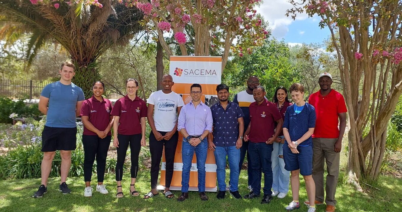
SACEMA hosted Diego F. Cuadros (PhD, M.D) and his PhD student Tuhin Chowdhury, from Digital Epidemiology Laboratory, at the University of Cincinnati.
![]()
Diego and Tuhin presented a two-day workshop, Open GIS Workshop in Medical Geography, on the 08th and 09th February 2024. SACEMA and CERI staff and students participated in the workshop.
The workshop aimed to introduce participants to the usage of Geographical Information Systems (GIS) in Medical Geography. GIS facilitates the storage, retrieval, and analysis of geographically referenced data, enabling the exploration of spatial relationships in various phenomena. Medical Geography applies geographical tools to health-related questions, emphasizing spatial variations and environmental influences on health. The use of GIS in this context involves analyzing health data in relation to geographic location, aiding tasks like health monitoring, epidemiological studies, and health planning through visualization and spatial analysis. The workshop focused on utilizing free and open-source GIS software to display, analyze, and represent health data, covering general GIS and Medical Geography concepts, data types, and basic spatial analysis techniques using QGIS and GeoDA. The goal was to generate interest among participants and provide accessible alternatives to commercial GIS software.